Shallow-water UAV imagery is degraded by sun glint and moving caustics — a lightweight, camera-agnostic correction pipeline restores contrast and boosts downstream mapping accuracy.
Traditional shallow-water (<5 m) surveys are costly and logistically limited, which caps large-scale monitoring of near-shore benthic environments that matter for biodiversity and coastal health. UAVs offer a cheaper, higher-coverage alternative, but light refraction, moving caustics, and sun glint at the air–water interface badly degrade image quality and interpretability.
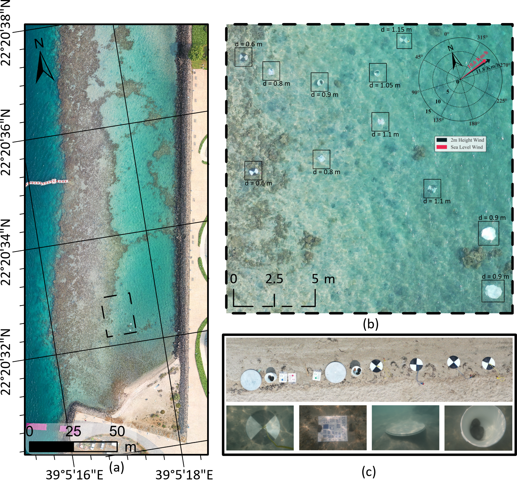
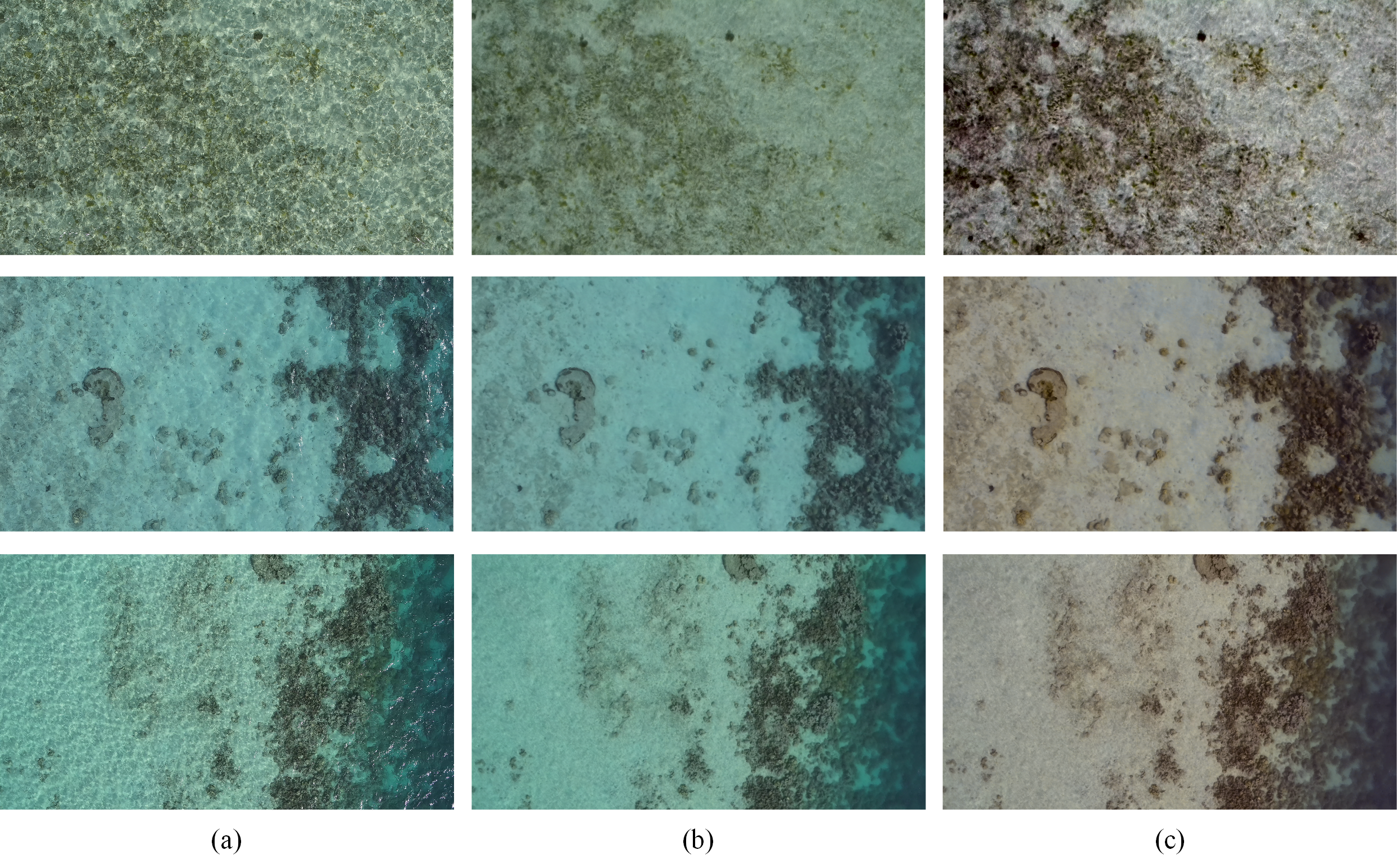
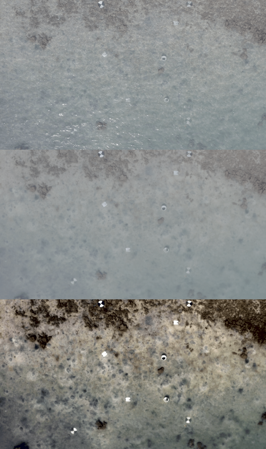
Using a DJI Mavic 2 Pro with a Hasselblad L1D-20c camera, we flew full-HD 60fps video over a shallow lagoon mixing coral reef, rubble, and sand, at altitudes from 10–120 m. We evaluated a pipeline built from standard, inexpensive computer-vision steps — color transfer, illumination normalization, and multi-frame median averaging — to suppress the temporally varying flicker caused by refraction and glint.
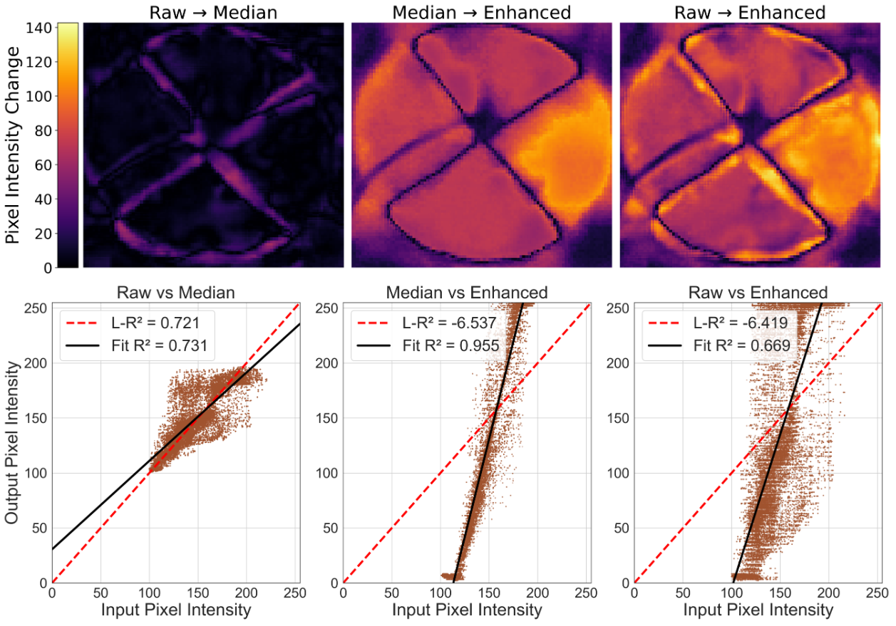
The corrections sharpened boundaries, improved tonal consistency, and lifted standard image-quality metrics. At low altitudes (<20 m), where refraction dominates, we saw >10% improvement in inter-frame correlation and restored geometries within 5% of true shape dimensions, using 60 averaged frames. Because the whole workflow is camera-agnostic and needs no physics-based modeling, it's a practical fit for field survey teams that need better seabed visibility without heavy equipment.