A robotic quadruped's low-beam LIDAR, repurposed for tree structural surveys — measuring height, trunk diameter, and crown volume across 58 urban trees.
Tree structural properties — trunk diameter at breast height (DBH), height, crown diameter and volume — drive estimates of aboveground biomass and carbon stocks, and inform forestry and silviculture decisions. Manual surveys measuring these are slow, inconsistent, and prone to observer bias.
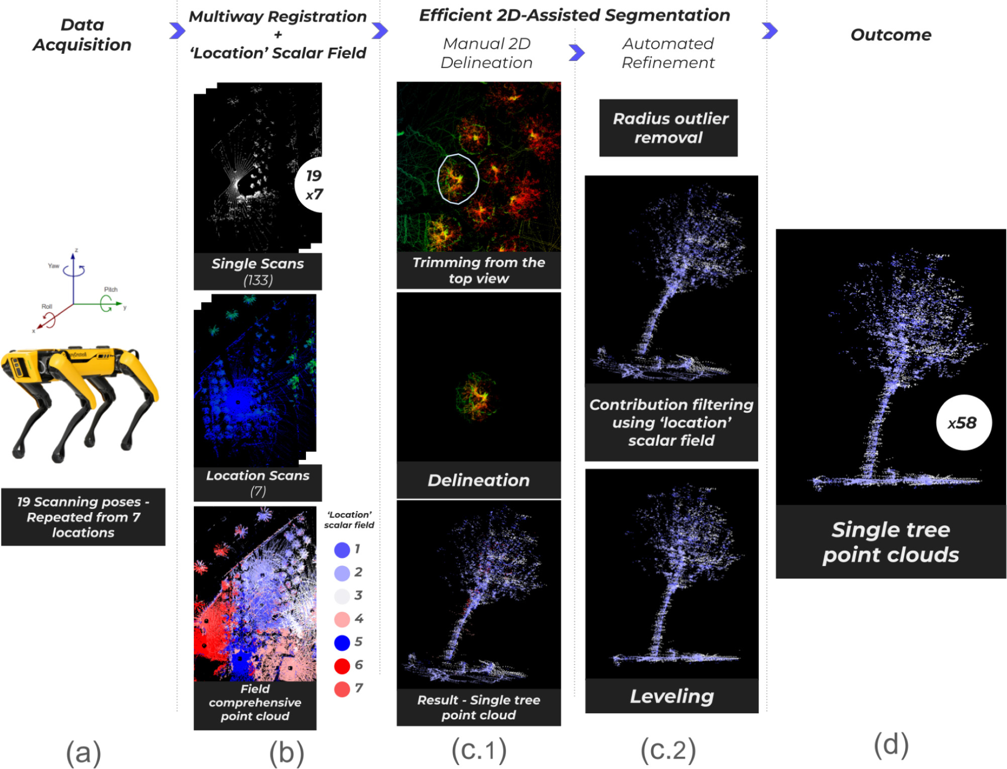
This study repurposes "Spot," Boston Dynamics' quadruped robot, equipped with its Enhanced Autonomy Payload (EAP) and a Velodyne VLP-16 LIDAR, to do the job instead. Rather than adding a dedicated high-end sensor, we use the EAP's own low-beam LIDAR — normally reserved for navigation — for structural data collection, keeping energy use and payload low. A multi-pose scanning strategy improved the vertical field of view from ±15° to ±60° and boosted point-cloud density by over 800%, achieving 2.09 cm RMSE in point-cloud registration.
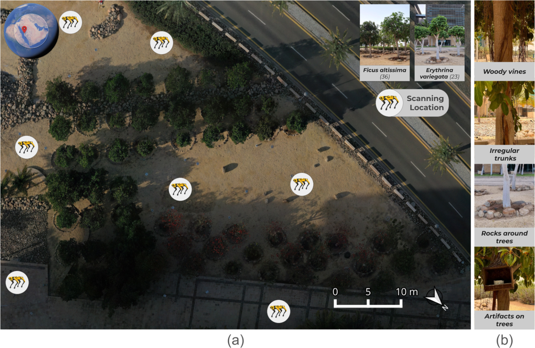
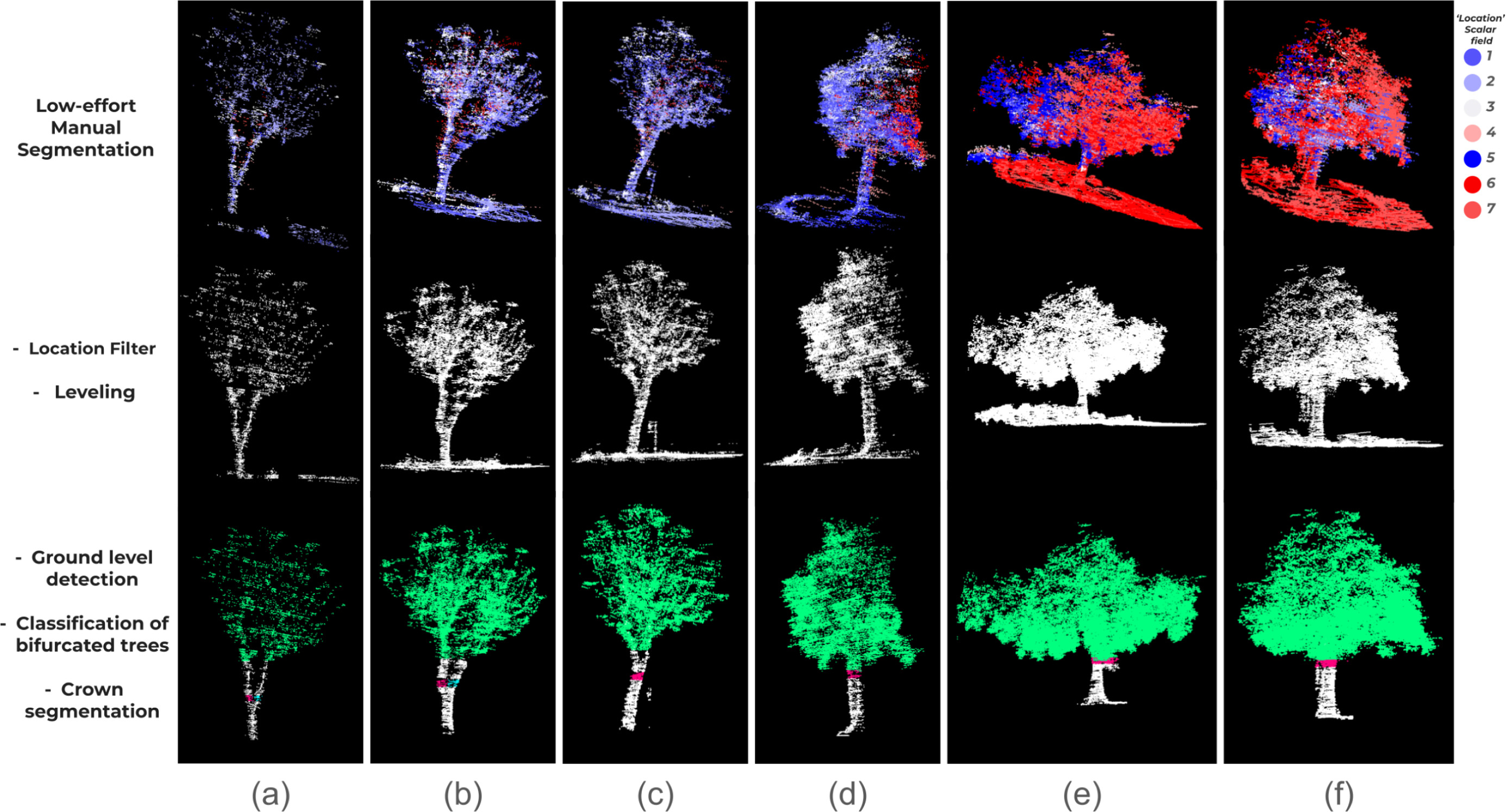
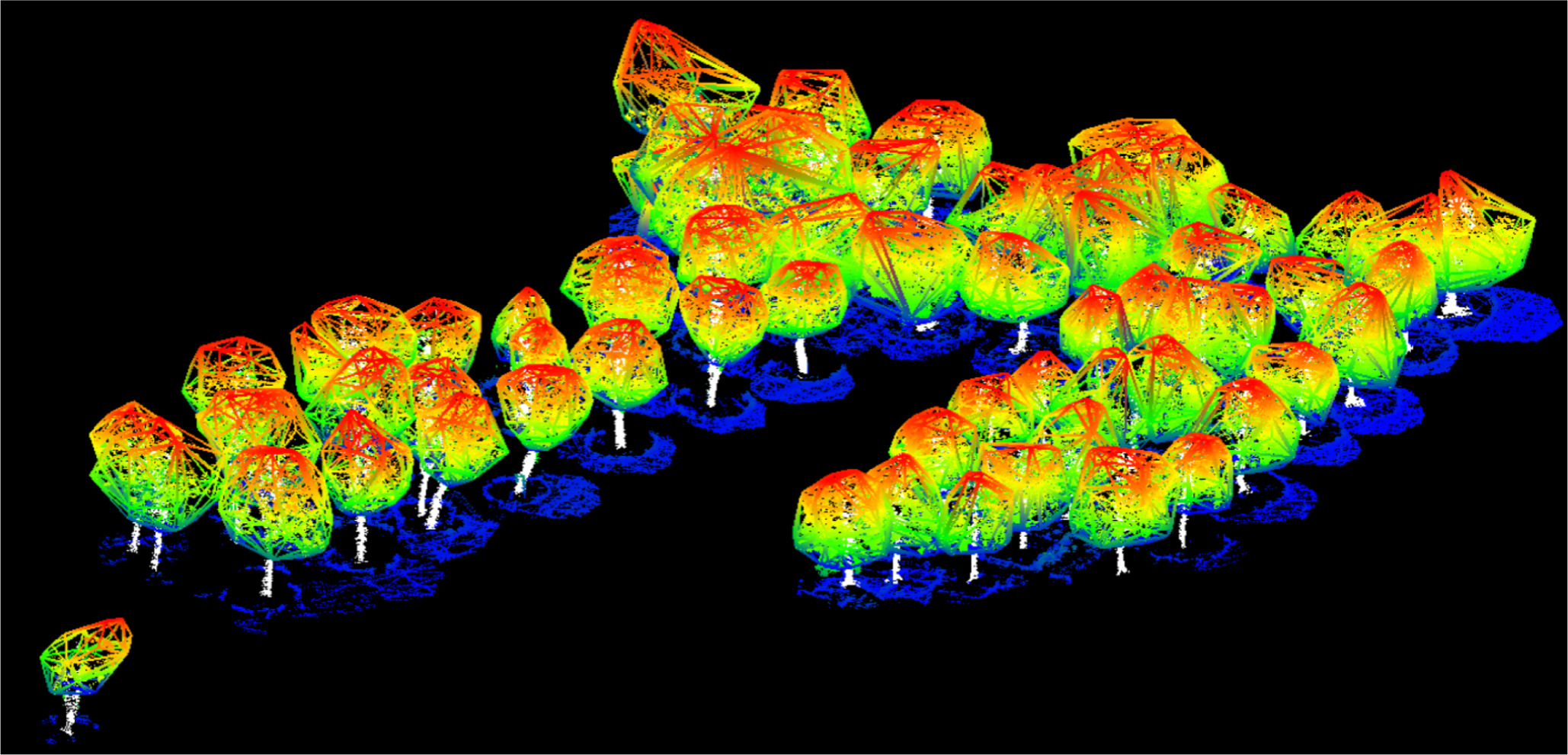
Across 58 trees (22 Erythrina variegata, 36 Ficus altissima) in an urban park, height estimates reached 29.27 cm RMSE (5.23% relative), DBH estimates reached 4.5 cm RMSE (18.9% relative), and the bifurcated-trunk detector hit 100% accuracy. Crown volume estimation achieved an R² of 0.895 — outperforming several existing methods. The results point to agile ground robots as a viable, efficient tool for structural tree surveys, with automatic segmentation and parameter tuning as the natural next step.